Short comment:
1) You don't need to link the stages with an attachment, you can do it directly.
copy image location in the editor, gives you something like this
http://www.radsportfreaks.de/radsport/p ... 1535561097
Then put the picture thing
around it and:

2) Use recalculate elevation!
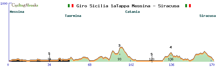
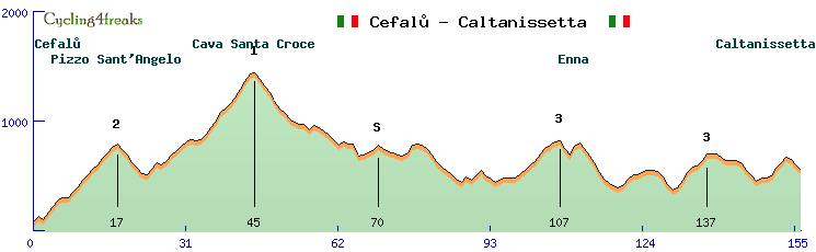
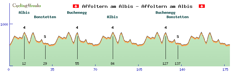
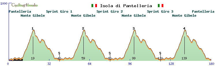
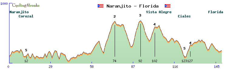
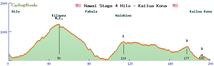
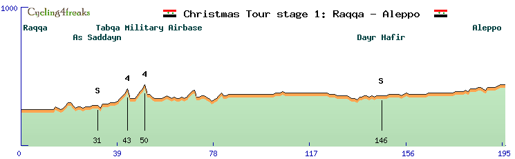
Then on the left under elevation you see the elevation your track has, under calc. elev. what it is at RSF. The automatic percentage calculation doesn't work perfectly.... for example you lose 4 meters for 10 km in a row, so in reality you'll be 40 meters lower, at RSF it will be 10 times 0, so you stay at the same elevation. So you need to correct those things by hand in the percentage column. "profil%" in the editor. In this stage above, you are below sea level quite a few times. Or at the mountain at km 93 you are at 194 meters. The track says 227... last km from 157 to 227 so exactly a 7, for some reason the autocalculation said 5... check for stuff like that, that you never deviate too much from reality.
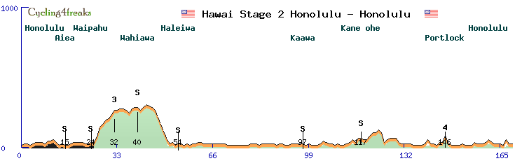
3) A bit more information in the profile would be nice. Name of the climbs? If you don't know, no problem, put in nothing, but if you know, better to put in the name of the pass. Same for intermediates
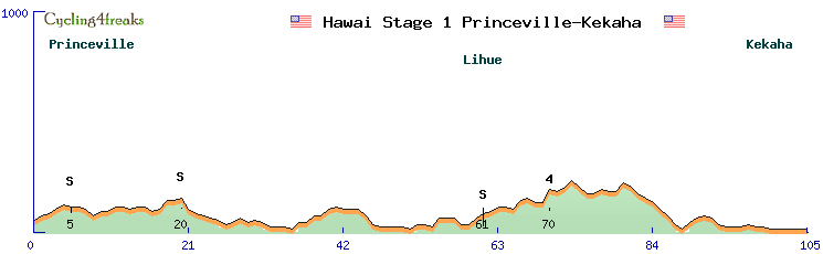
4) Starting city: Don't write it at km 1, as you can see then it looks like it's out of the profile... of course it's not cut off, you still can see it, but nicer if it's all on the right of the vertical line. (But ok, not too important really)
For the rest looks all nice, most important thing IMO number 2! Recalculate elevation.
And it's a bit a "waste" to make this tour, since a 9 day tour has really little chance to be ridden (unless you put it in the december tour competition and it wins). Ok, it's just for practice, no problem. But why not make some one day races too? Even if just for practice, they could be used anyway, if possible after some little corrections (use recalculate elevation!)
Otherwise can't think of anything right now... welcome designing and have fun!